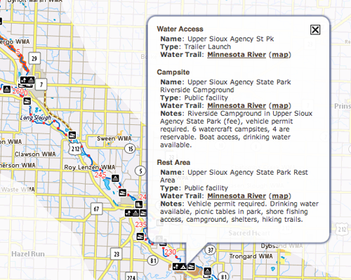
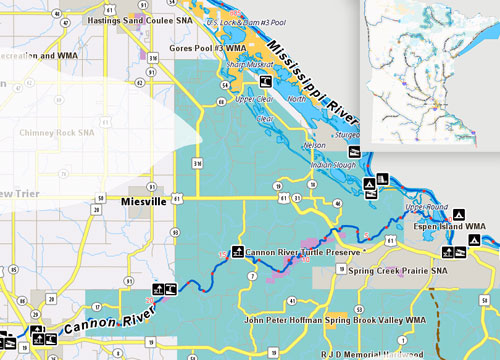
Minnesota Water Trails Map
15 Nov
The Minnesota DNR has released a new interactive map showing its 32 official State Water Trails — its a great tool to look for paddling opportunities all over the state, especially if you are looking for a place to paddle near a city or in an area that is new to you. The map includes a myriad of small clickable icons that show dams, camping, boatlaunches, even river miles are indicated if you get close enough to the map. We are not currently seeing indications of nearby Outfitters, so check out our Minnesota Rivers & Streams section to find a canoe rental or shuttle service.
The map may not work well in all browsers, and while it appeared to work on the mobile platform, we had a little trouble making it move and zoom in. An A-Z list of all of the Minnesota State Water Trails can be found here: http://www.dnr.state.mn.us/watertrails/az.html


