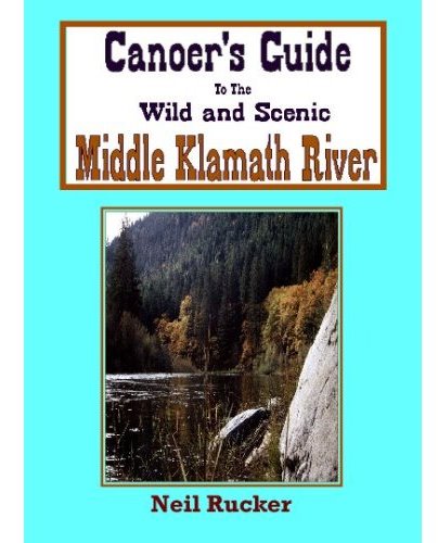
Book Review: Canoer’s Guide to the Klamath
14 Apr
 Now this is a guidebook!
That was, literally, our response after spending a bit of time inside the pages of Neil Rucker’s Canoer’s Guide to the Wild and Scenic Middle Klamath River. The self-published book, now in its 5th edition, is readable, comprehensive, entertaining, informative and, well, charming.
If only every river had a book that mixed the details, maps, photos, and lore of it’s watercourse as well as Canoer’s Guide.
Rucker, a Northern California canoe instructor for more than 30 years, confines his guide to “Middle Klamath” — defined as running from the Iron Gate Dam near
The book guides the reader down the river access-by-access. Rucker describes each reach, paying special attention to the rapids – the Middle Klamath is a whitewater river, after all. Along with nice overview map of the whole river at the top of the book, Rucker maps the river in finer detail in each chapter, noting in-flowing tributaries, bridges, and, of course, rapids.
Rucker offers rapid-running advice – in both high and low-water versions – for all the river’s important sets. He also peppers the book with enjoyable asides about the history and nature of the river. He also inserts “Around the Campfire with Neil” and “Neil’s Nature Trips” sub-chapters, which enrich the book. Rucker’s book is obviously a labor of love for a river he loves.
In all, Canoer’s Guide is a model of what a top-notch guide-book should be – informative, readable, easy-to-follow, and well mapped and illustrated. With an appealing do-it-oneself look – Rucker’s wife JoAnn handled the design, layout, and graphics of the book – Canoer’s Guide is the sort of guidebook you wish every writer-paddler would produce.


